
HUARAZ (Cordilla Blanca). A Return to the Mountains. 37 417 Km
Excited to escape the city noise and smog of Lima, we headed out once again to the mountains. This time we were heading to Huaraz, which lies in a valley between the Cordilla Negra and the Cordilla Blanca. This was one of my all time favorite places in Peru last time and I was keen to show it to Claire.
Arriving bright and early after a night bus, the first day was mostly spent chilling out, wandering around the city, and getting ready for the next few days of trips and hiking. Also, given we'd come back to 3000m and many of the hikes went over 4000, we needed to get re-acclimatized to the altitude.
The first full day we had we planned to start a little easy. We took a bus to Llanganucu, twin lakes that form between two high peaks of the Cordilla Blanca. At just over 4000m, the area provides a great place to take some short hikes and continue to acclimatize. Unfortunately what we booked was actually a tour and we found there were a series of other stops and our time at the lake was limited to just an hour.
Never the less we got out and had a wander around the emerald green lakes and along the way found some trees spotted around the edges which had incredibly red bark.
After the lake we stopped for lunch, a sweet shop, and then to Yungay, a city that was previously buried after an earthquake in 1970 dislodged a nearby glacier 20ish kilometers away swept through the valley and completely destroyed the town.
A new town has been constructed nearby but they have also reconstructed parts of the old town to give an impression of what was previously there. The structures above and below are a reconstructed cemeteryIn the image below it is possible to see Huascaran, the highest peak in Peru, the moutain responsible for burying Yungay.
From the Monument, there were also some incredible views looking South through the valley.
The following day it was time to get out and do a bit more hiking. This time we elected a small walk on the Cordilla Negra side of the valley, which from the top promised great views of the Cordilla Blanca. It was a fairly gentle 700m elevation gain over about 6km, that passed through farm land. Amazingly we passed a number of school children who had to walk up and down this trail (several hundred meters elevation and a few kilometers) every day to go to school, including kids as young as 6.
From the top of this little walk we found a nice mountain lake, some sheep, some local people, and a great view.
Cordilla Blanca
Back in town we had to make some choices about what to do next. With a trip to the Galapagos fast approaching we were running out of time and had to pick another day here or see some more of the ruins in Trujillo. After the short walk, I was a bit nervous about hiking higher and having a return of altitude sickness so we elected to call it our last day. Though from the hotel balcony, it was definitely a tops day.
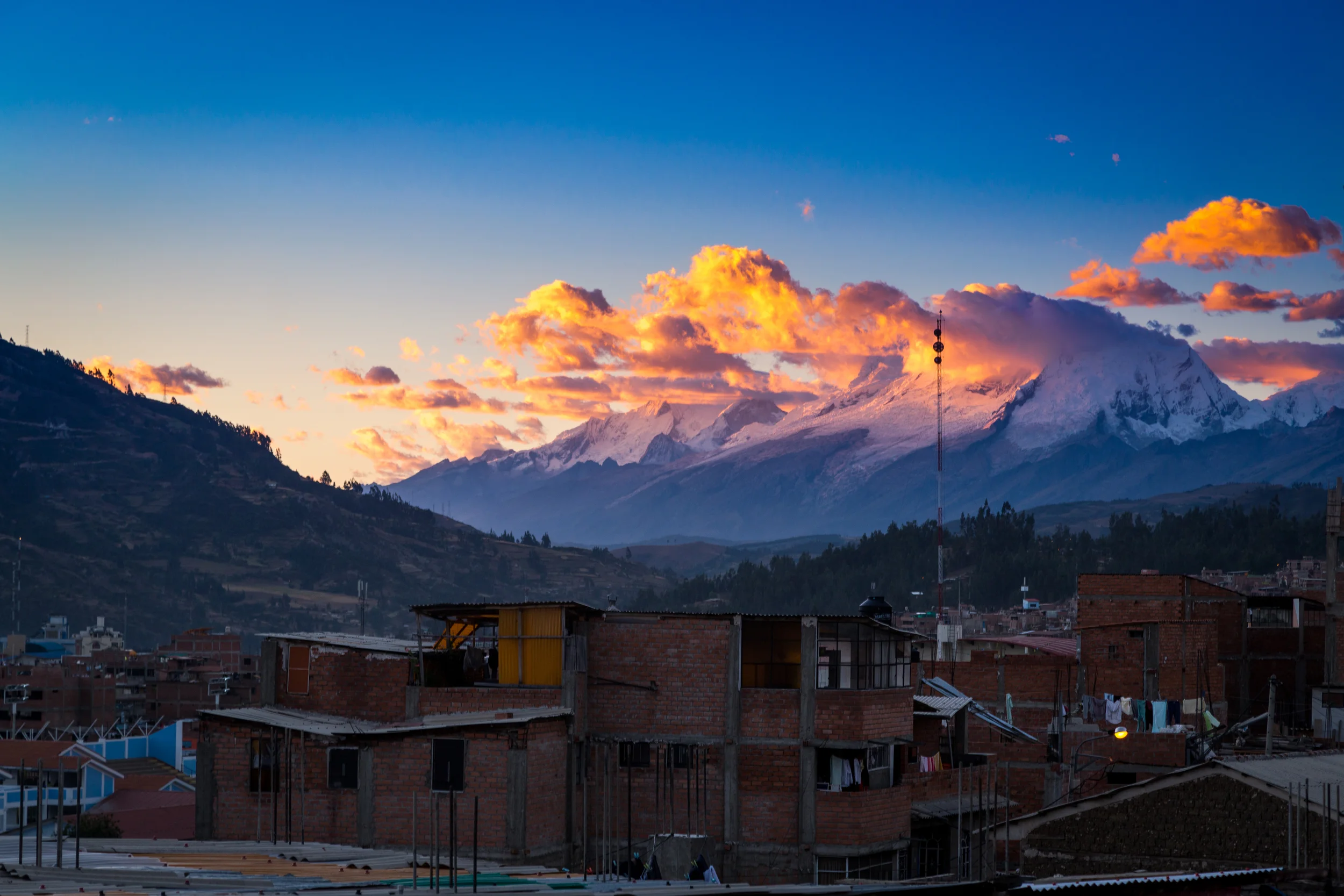
Huascaran
The next morning we got on a bus once again to head north. 37 4271 Km (14011Km Flights, 8026Km Sailing, 15 088Km Bus, 124km Hiking, 18Km Horse riding, 150Km Train)
